A Network, Not a Set of Paths
One of the most striking findings of modern research on nineteenth-century Asante — associated above all with the work of Ivor Wilks on the kingdom's political system — is the reconstruction of a deliberately maintained road network radiating from Kumasi. Conventionally described as the eight great-roads, akwantempon, these were the arteries of the state, running south to the coastal forts and north into the savanna, with a dense system of lesser paths feeding them.
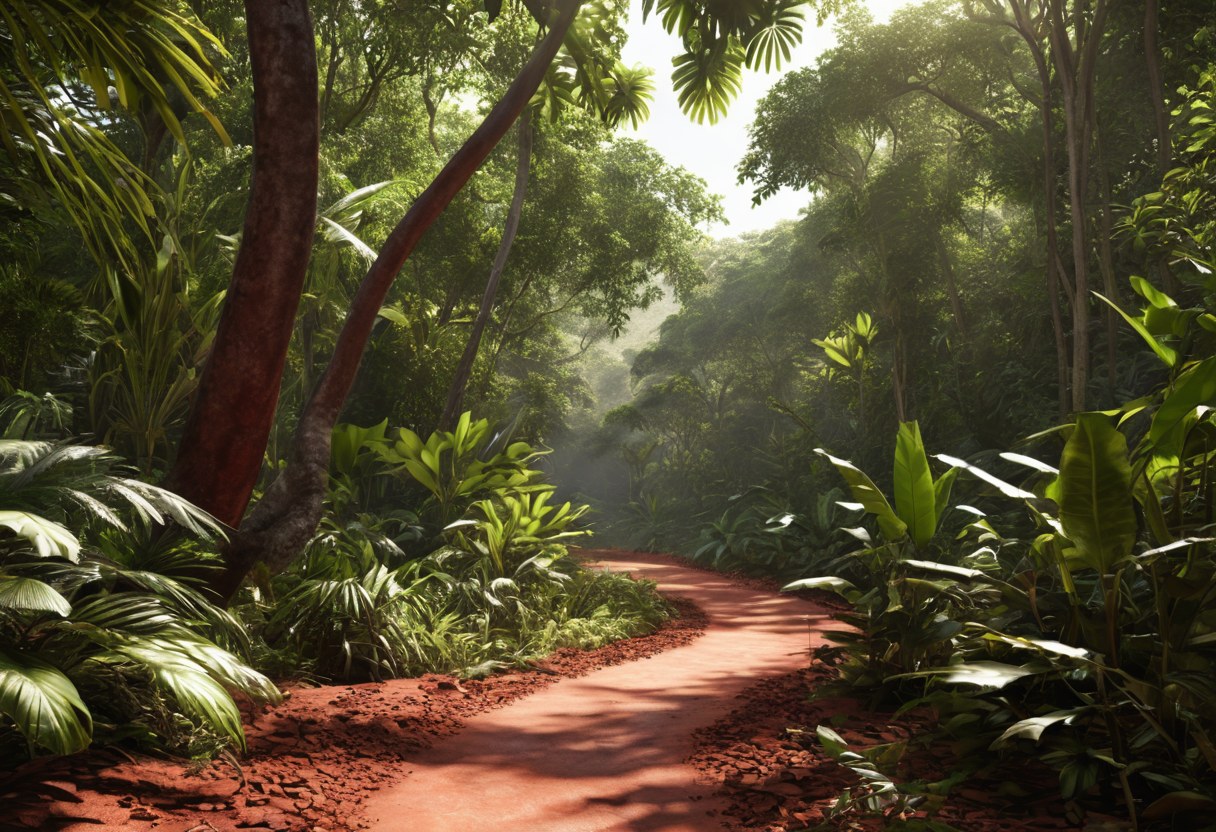
They were not roads in the European sense. The forest permits nothing like a paved highway, and wheeled transport was not used; goods moved on the heads of carriers and people travelled on foot, with hammocks for those of rank. What made these routes different from ordinary bush paths was that the state took responsibility for them.
Keeping Them Open
In tropical forest a path that is not used closes within a season or two. Keeping a route open over hundreds of kilometres therefore required continuous organised effort: clearing regrowth, cutting back the canopy, repairing crossings after the rains. This work was owed by the communities along each route as a duty to the stool, and it was supervised.
Rivers were the hardest problem. Crossings were made by canoe ferry at established points, and by bridges of timber and creeper at others — structures that impressed European visitors, who did not expect to find engineering of that kind in a country they had been taught to think of as trackless.
The Road Wardens
Along the great roads the central government stationed officials known as nkwansrafo, road wardens, at posts and at key crossings. Their functions were several at once, and they are the clearest evidence that these roads were an instrument of administration and not merely of commerce.
- They checked that travellers had authority to be on the road; movement on the great roads was regulated, and traders and envoys were expected to be accountable.
- They collected tolls and dues on goods in transit, feeding revenue to Kumasi.
- They watched for contraband, for evasion of the state's interest in gold and in certain trades, and for unauthorised dealings with Europeans.
- They reported. A chain of posts along a road is also an intelligence network, and news travelled the roads faster than caravans did.
Distance and Time
Distances in Asante were measured in days of travel rather than in linear units, which is the sensible metric when the terrain is uniform and the mode of transport is a walking carrier. The journey from Kumasi to the coastal forts took a fortnight or more for a loaded caravan; the northern markets were considerably further.
Because the state maintained the roads and knew their timings, it could calculate. Armies could be moved with a known schedule, messages could be sent with a predictable delay, and the arrival of trade could be anticipated. That predictability is what turns a set of paths into infrastructure.
Roads as Policy
The most revealing use of the network was diplomatic. Because the routes to the coast ran through Asante territory under Asante supervision, Kumasi could close them — and did. Closing a road cut a coastal state or a European fort off from the interior trade on which it depended, and it was used deliberately as a means of pressure in disputes, without a shot being fired.
This is one reason the European powers on the coast dealt with Asante so carefully. The Dutch at Elmina, the British at Cape Coast and the Danes at Christiansborg all depended on goods that reached them along roads controlled by someone else. An embassy to Kumasi was, among other things, a negotiation about access.
What the Roads Say About the State
Building and maintaining such a network required the ability to command labour across a wide territory, to post officials far from the capital, to collect revenue at a distance and to enforce regulation on travellers. Those are the standard capacities of a centralised state, and they were exercised here without literacy in the administration's own language, without wheeled transport and without draught animals, which the forest environment could not sustain.
When British forces marched on Kumasi in 1874 they used the roads Asante had built. It is a fitting irony that the infrastructure of Asante power became the route by which it was attacked — and a reminder that the network was real enough to carry an invading army.